
River Conditions Update:
Updated 6/19/19 — With increased rain levels this year and more predicted for Thursday and Friday before the race, water levels on the river will likely be higher than for races past, which means the downstream paddle will likely be faster, the upstream paddle more challenging, and the rapids on the long distance may be more of an adventure! Don’t worry if you’re concerned, there are options!
Long Distance Course – On this 7 mile course from Auburn to Durham, the increased water levels will mean a faster paddle and possibly up to class III rapids at the Dresser Rips. Please remember to always wear your life jacket and a helmet (bicycle or whitewater) is recommended. Per usual, we recommend that racers stay toward the left bank/middle of the river as they go through the rips and aim for the “downstream V” (dark water with whitewater edges that loosely forms a ‘V’ shape and indicates the deepest and most obstacle-free path through a rapid). We will have a great safety crew provided by Three Rivers Whitewater Rafting at the rapids to make sure you, your boat and paddles, make it through this section together (see the Safety Tips section below)! However, if you are not interested in additional whitewater this year, you also have the option of either ending that the Lincoln Street Lewiston Boat Launch about 1.5 miles in (Twin City Course), or joining the Boomerang course by going around the buoy at this junction by Lincoln Street Lewiston Boat Launch (before the rips) and paddling back upriver to Festival Plaza (about 3 miles).
Boomerang Course – On this 3 mile course to the Lewiston Boat launch and back upriver to Festival Plaza boat launch, the increased water flow will likely mean a more challenging paddle than last year for the return trip. A river race committee member paddled upriver under the green/Peace bridge (which is often the most challenging section of the Boomerang course), on Monday evening 6/16 and had this to say, “When going back up under the bridge, it’s not a challenge as long as you stay in the visibly still parts. The closer you are to the columns, the faster the water, but its easy to scout the calm sections.” If paddling upriver becomes too much, you can always paddle/float down to the Lincoln Street Lewiston Boat Launch and end there (this is the end of the Twin City Course). There will be a volunteer sweep to direct you to where this is. If you choose this option, know that you will need to carpool with a volunteer to take you back to Festival Plaza to get your vehicle to then pick up your boat. There will be a volunteer to stay and watch your boat.
Twin City Course – This 1.5 mile family-friendly course should not be impacted much by higher water levels, other than a little bit faster of a paddle than last year 🙂
[WRAP][/WRAP]
RACE RULES
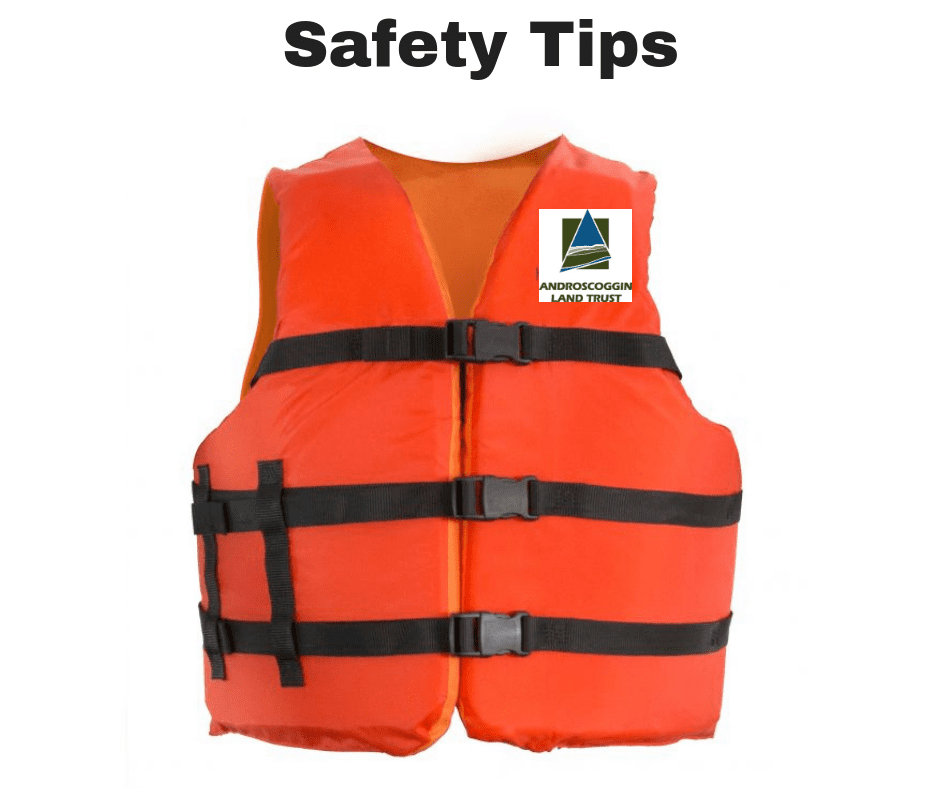
- PFDs (personal flotation devices, or life jackets) must be worn by all participants for the duration of the race. PFDs should fit snugly.
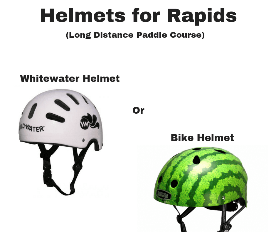
- For Long Distance Paddle (7 mile course) helmets (whitewater or bike helmets) are recommended.
- All 3 finish lines are marked by buoys to paddle between.
- Please be sure your bib number is worn by the person in the front of the boat to be visible from the shore at the finish line
- Always yield to the lead canoe/kayak. Physical contact between canoes/kayaks may be grounds for disqualification.
- Once entered, do not quit the race without notifying the sweep boat (the last boat). The race cannot end until all are safely accounted for.
- The Androscoggin Land Trust, its sponsors and volunteers, are not responsible for lost or stolen articles.
- Alcohol is prohibited in the race and race areas.
- Smoking is prohibited.
- Competitors must stop to assist any capsized, swamped or otherwise endangered team unless certain that the team is fully capable of safely returning to shore.
- Have Fun!
SAFETY TIPS
We expect you to have a great experience. Knowing these safety tips will help ensure this is the case:
- Always wear your life jacket.
- Most of the course is flat water and easily navigated. For the Long Distance Paddle Course, the second mile has some rapids. We suggest keeping to the center of the river for the first set of rapids on the Long Distance Paddle Course.
- If you get into difficulty, raise your paddle or arms straight up and wave back and forth to signal a request for help.
- If you fall out in the rapids do not hold onto rocks. We recommend that you float on your back with your feet facing downstream letting the current take you through the rapids. Once safely through the rapids you can then make your way to the most accessible river bank where volunteers will assist you.
- Keep yourself safe first, we will help you to recover your boat and gear once we know you are safe.
Safety Crew on the River:
- Three Maine licensed guides from Three Rivers Rafting Company will be stationed at the rapids in 2 inflatable kayaks and 1 inflatable row frame.
- A rescue boat manned by fire fighters below the rapids.
- One person on the shore along the rapids with throw-able ropes.
- Sweep boats that will follow the last boat to make sure everyone makes it to the finish line.
- A boat stationed before the rapids to direct people to the Twin City and Boomerang courses.
RAPIDS SAFETY INFO (LONG DISTANCE COURSE ONLY)
- The Long Distance Paddle is approximately 7 miles, and includes a section of rapids typically rated class I or II (but could become class III depending on the water level on the day of the race). We recommend that long distance racers (7 miles course) wear a helmet (whitewater or bicycle helmet) and that racers stay toward the middle of the river as they go through the rapids and aim for the “downstream V” (dark water with whitewater edges that loosely forms a ‘V’ shape and indicates the deepest and most obstacle-free path through a rapid). Racers are able to experience unique sections of the Androscoggin River, paddling past the iconic Lewiston canals, beyond the confluence of the Little Androscoggin River and through Dressers Rips, with many other recreational enthusiasts.
RIVER DESCRIPTION
- From the start at the Pedestrian Bridge which connects the Simard Payne Railroad and the Bonney Parks, a ¼ mile of flatwater to the Bernard Lown Peace Bridge (aka green covered, South Bridge)
- From the Bernard Lown Peace Bridge there is another 1¼ mile of flatwater to the Lewiston Boat Launch
- If you are continuing for the Long Distance paddle, there will be another ¼ mile of flatwater to Dresser Rips (class II or III rips depending on water levels)
- We recommend that racers stay toward the left bank/middle of the river as they go through the rips and aim for the “downstream V” (dark water with whitewater edges that loosely forms a ‘V’ shape and indicates the deepest and most obstacle-free path through a rapid).
- After the rips, .3 miles of flat water to the turnpike overpass bridge.
- .6 miles past the turnpike overpass you may encounter easy rips.
- Continue to the Durham Boat Launch on roughly 3.7 miles of flat water to the finish line. The boat launch is within a small cove so look for the buoys!