Trail Maps
All trails are free and open to the public. Please follow trail guidelines posted at trailheads – each trail/preserve is unique *COVID-19 Public Health Trail Etiquette: Please practice social distancing and respect others’ needs to stay at least 6′ apart. Please do not visit trails if you are sick. Otherwise, time outside is a great investment in health and well-being. Additional outdoor safety tips can be found in this April 2 joint press release from Maine’s Conservation Community and State Natural Resource Agencies. Enjoy!
For information on how to best prevent the virus, visit the Maine CDC website.
Individual Trail Maps at ALT Properties:
Androscoggin County
- Sherwood Conservation Area (Auburn) | PDF Map | Maine Trail Finder | About
- Barker Mill Trail (Auburn) | Maine Trailfinder | About
- Durham River Park (Durham) | Maine Trail Finder | About
- David Rancourt River Preserve (Lewiston) | Maine Trail Finder | About
- Garcelon Bog (Lewiston) | Maine Trail Finder | About
- Jones Bonney Village Park (Turner) | PDF Map | About
Franklin County
- French Falls Recreaction Area (Jay) | PDF Maps | Maine Trail Finder | About
Sagadahoc County
- Purinton Homestead Conservation Area (West Bowdoin) | Maine Trail Finder | About
For an interactive map of all public trails in Lewiston/Auburn...
Outside resources
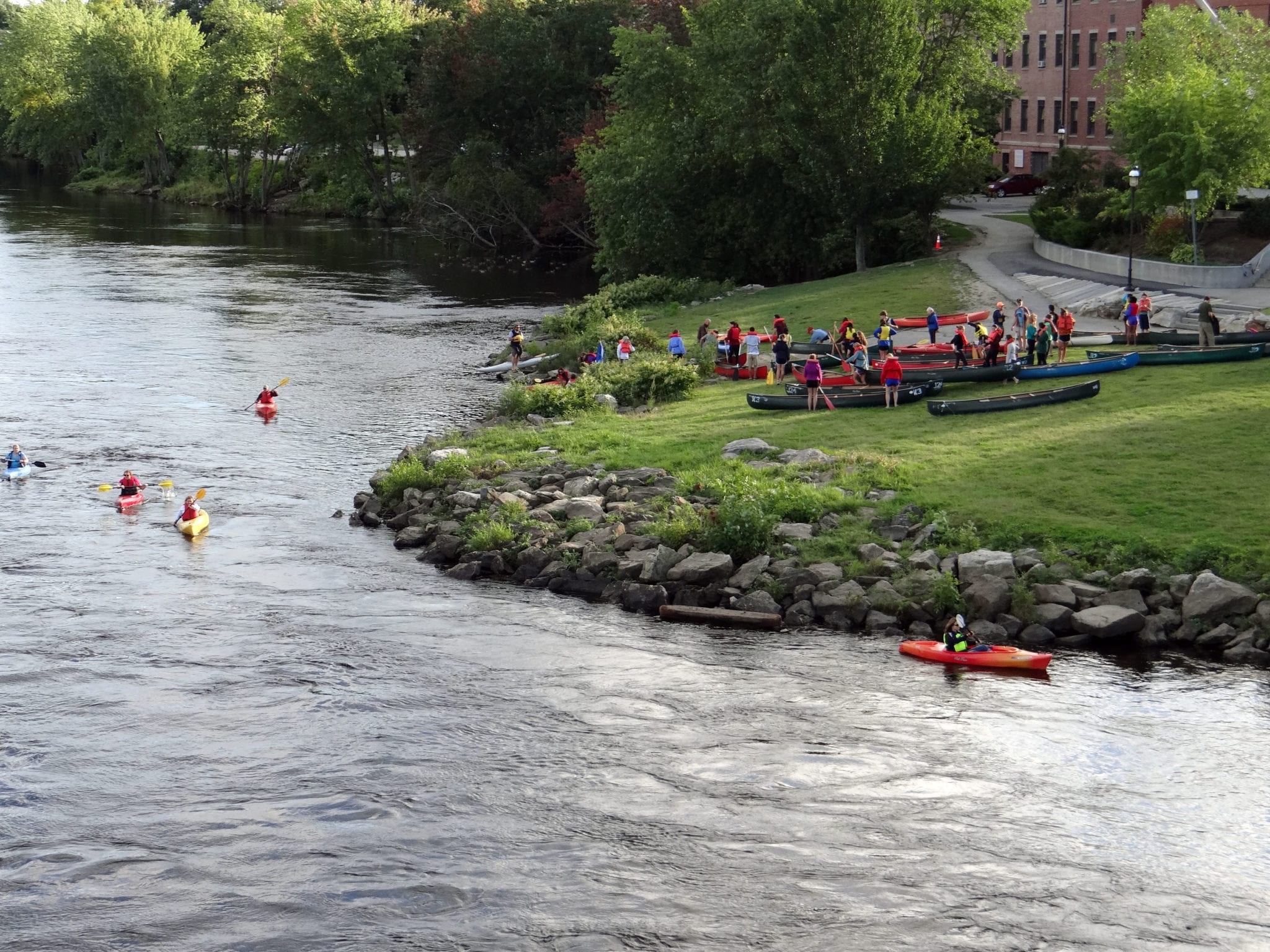
- To plan paddling trips on the Androscoggin River, check out Androscoggin River Watershed Council’s great Androscoggin River Trail Map
- For a general resource on trails throughout the State of Maine, you can go to Maine Trail Finder