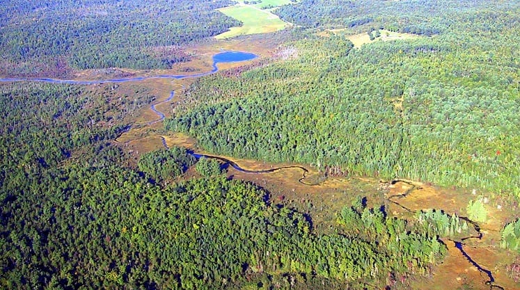
Jersey Bog Conservation Area, in Buckfield. Androscoggin Land Trust conserves approximately 600 acres in this area for critical watershed protection and wildlife habitat.
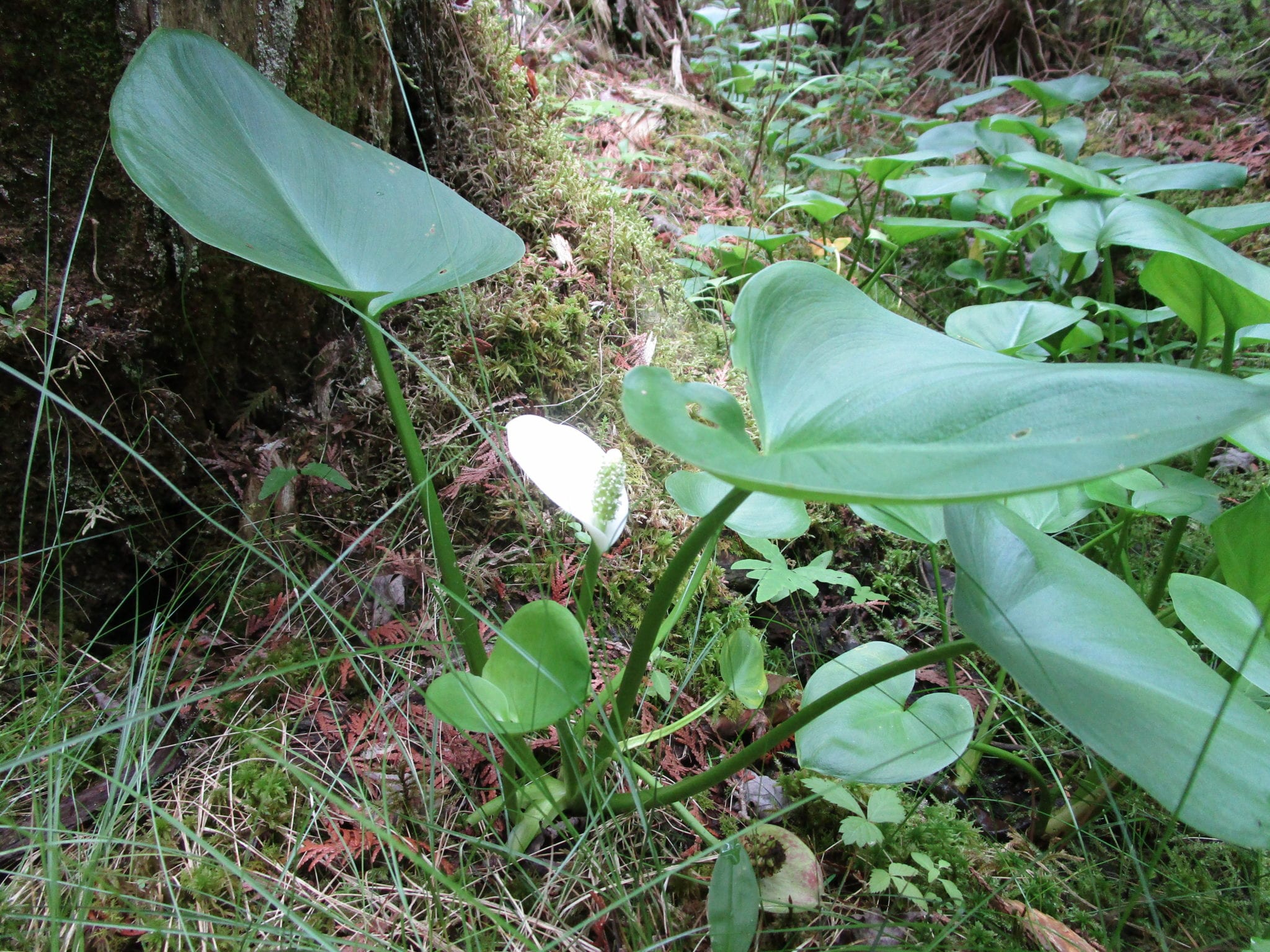
Wild Calla growing in the Jersey Bog Conservation Area
Collectively, Androscoggin Land Trust currently conserves approximately 600 acres in the Jersey Bog area of Buckfield and Turner. Jersey Bog is a large wetland complex that drains into the Nezinscot River and then into the Androscoggin River. In 2003, due to Beginning with Habitat information that identified Jersey Bog as containing approximately 4500 acres of undeveloped land, high value wading bird and waterfowl breeding habitat, wildlife habitat, deer wintering areas, an exemplary natural community type and a rare plant species, ALT made this an internal focus area and began to concentrate conservation efforts here.
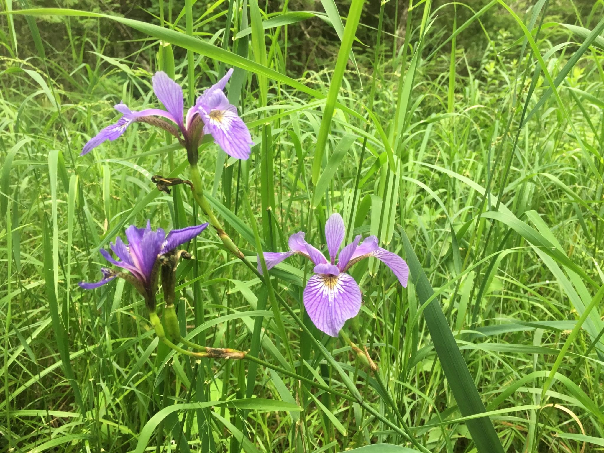
A wild blue flag iris growing at Jersey Bog Conservation Area.
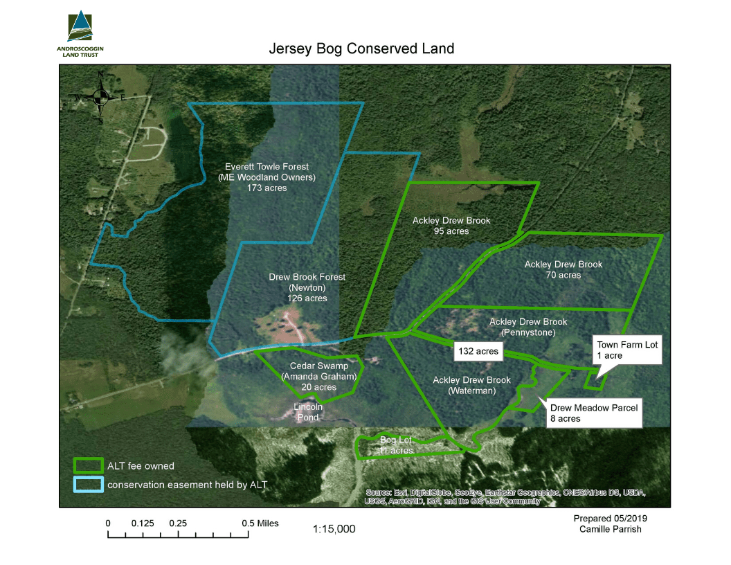
Androscoggin Land Trust conserves land in this area through both through ownership and several parcels under conservation easement:
Ackley-Drew Brook Forest (ALT fee-owned): Wes and Marilyn Ackley generously donated a conservation easement to ALT on this 165-acre parcel in 2005 to permanently protect forest and wetlands along Drew Brook which drains into the greater Jersey Bog ecosystem. In 2017, Wes and Marilyn Ackley donated the land on the 165-acre parcel to ALT to own in fee, along with an additional adjacent 132 acres.
Bog Lot (ALT fee-owned): This 12-acre parcel was acquired by ALT in 2007 as a donation from the Town of Buckfield, as the Town supported ALT’s conservation efforts within Jersey Bog. The property was likely tax-acquired by the town and remained part of the Town-owned lands for many years before the gift to ALT. ALT wishes to own and steward the parcel with its philosophy of maintaining the property’s health and character. This parcel is land-locked, with no road frontage or known rights-of way to access the property. The property shows no evidence of past forest management. The lot is entirely wetland. The parcel also provides a unique and important habitat for many plant and animal species.
Everett Towle Forest (Conservation Easement): The Nature Conservancy generously donated a conservation easement on this 185-acre parcel off Purkis Road to ALT in 2011. The property is owned and managed for sustainable forestry while protecting the Jersey Bog watershed by the Small Woodland Owners Association of Maine (SWOAM).
Drew Brook Forest (Conservation Easement): ALT bought this 126-acre property north of Bear Pond Road in 2008 and sold it with a conservation easement to Michael Newton in 2011. The conservation easement permits the continuation of sustainable commercial forestry while protecting the ecological integrity of the forest and wetlands of the greater Jersey Bog watershed.
Cedar Swamp (ALT fee-owned) : Acquired by ALT in late January, 2012 as a donation from Hannaford Brothers. The supermarket retailer had purchased the property from William Kimball Jr. and Amanda Graham and made the donation to ALT as part of a Wetland Mitigation Compensation agreement that was part of the development of a new store in Turner. The property was surveyed and the boundary lines are very well marked throughout the parcel as part of the transfer. Through the acquisition and transfer process, several restrictions were placed on the property and are stated in the deed. First, legal restrictions are present through conservation covenants, although these restrictions are consistent with ALT’s management goals for the property. Maine Department of Environmental Protection has the right of third-part enforcement, meaning they may inspect the parcel to ensure the conservation requirements for the property are being met and take appropriate action if the conservation requirements are not being met. The deed also states that the harvesting of timber or removal of plants is forbidden on the property unless doing so addresses a very specific forest health threat as outlined in the deed. The last restriction worth mentioning is that no motor vehicles of any kind are allowed on the property.
Directions to Cedar Swamp: From Route 4 in Turner, take Route 117 west to the intersection with Bryant Road in Buckfield. Take a right onto Bryant Road and follow to the intersection with Bear Pond Road. Take a right onto Bear Pond Road and follow to 160 Bear Pond Road. The ALT property is 160 Bear Pond Road (see map). Please respect nearby privately owned property. The conservation easement parcels are privately owned and are not open to the general public.
ALT fee-owned parcels are open to the public, the conservation easement parcels are privately owned and are not open to the general public.