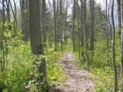
 The Sherwood Forest Conservation Area (also known as the Alexander-Harkins Preserve) contains 28 acres of forest and fields owned by the Androscoggin Land Trust adjacent to Sherwood Heights School and another 50 acres owned by the City of Auburn. The two properties have an interconnected trail system totaling 2.1 miles in length. Throughout the years, ALT has worked closely with the Sherwood Heights Elementary School, the City, and many other partners to help manage both properties and because of this collaborative effort, both properties are collectively referred to as the Sherwood Forest Conservation Area. The ALT-owned property was generously donated in May of 2001 by Joe Harkins and his mother, Rose Mary Lena Harkins. The Androscoggin Land Trust Board of Directors placed a Declaration of Trust on the property ensuring the preserve shall be maintained for the benefit of the general public primarily as a nature and environmental education preserve and secondarily for daytime low-impact outdoor recreation.
Preserve Rules:
- Please – Carry in/carry out, Remain on trails, Be respectful of private property boundaries, Pick up after your dog.
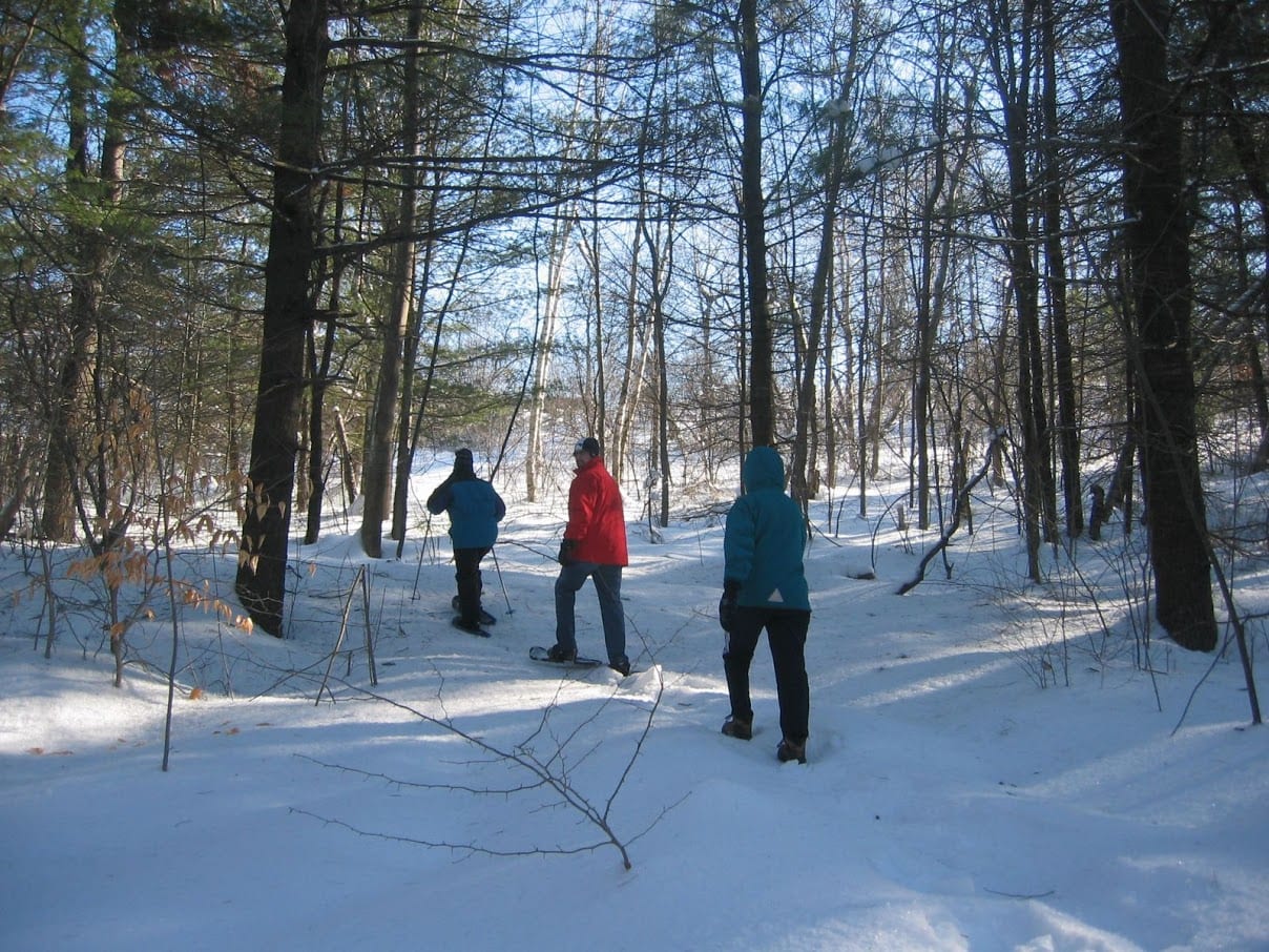
- Allowed Uses – Daytime: Walking/Hiking, Dog-walking on-leash, Mountain Biking, Snowshoeing, and XC Skiing.
- Not Allowed – Motorized Vehicles, Horseback Riding, Camping or Fires, Picking or removing of plants.
Directions: Follow South Main Street to New Auburn to the intersection with Cook Street. Take a right onto Cook Street and follow until the intersection with 19th Street. Take a left onto 19th Street and follow until it dead-ends. Park on the side of 19th Street and the trailhead will be on your left.
Download a Sherwood Forest Trail Map– Go for a hike, snowshoe, mountain bike, or xc ski!
Download a Sherwood Forest Self-Guided Natural History Tour – Great for teachers, students, and families!
Trail Map: